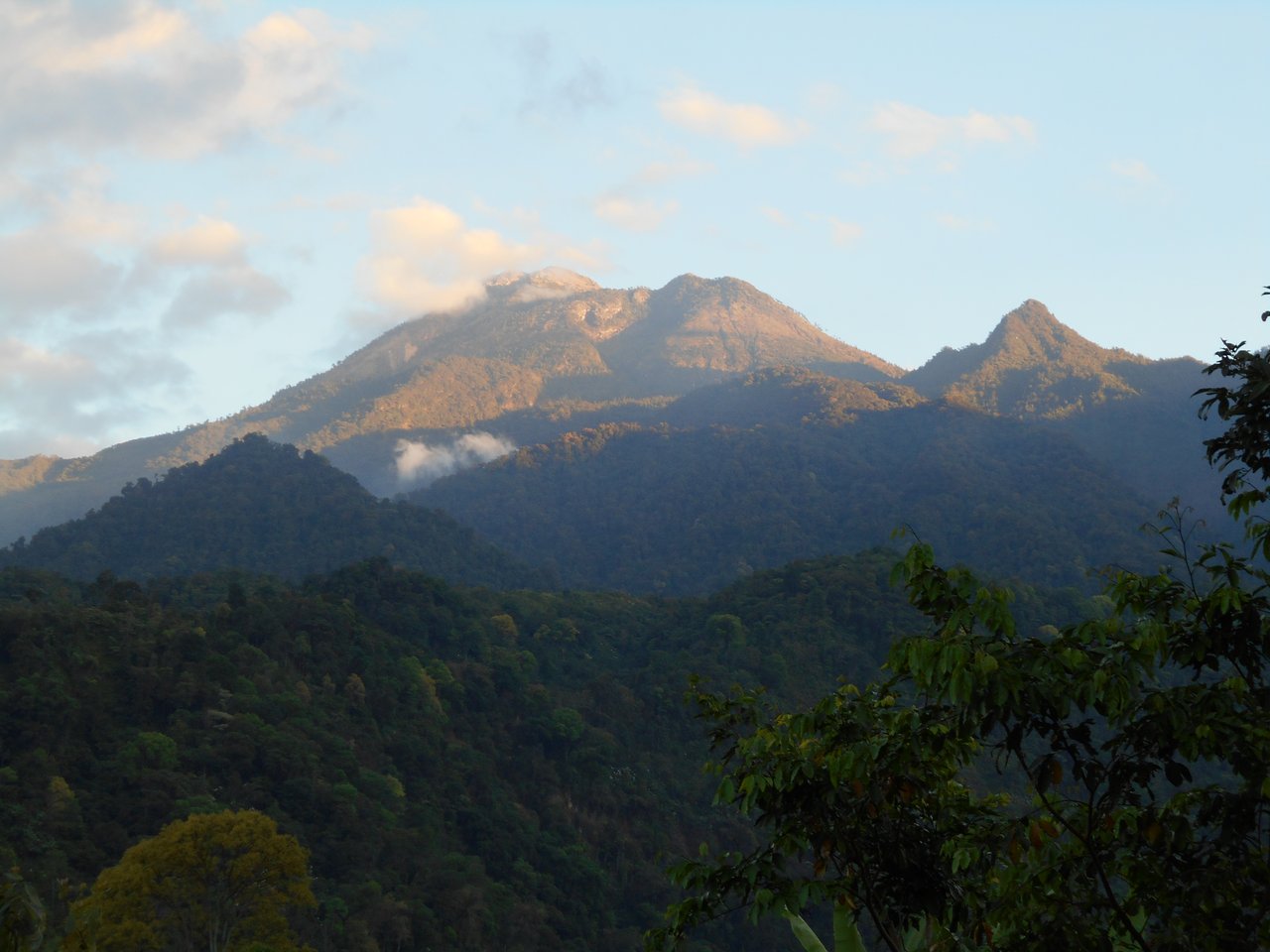
Why the highest point in Central America is still a real objective
Tajumulco asks nothing technical - the standard route is a walk to the summit. What makes it a genuine objective is the altitude and the cold. Most parties climb from a highland trailhead, camp high at around 4,000 m, and make a pre-dawn summit push to 4,220 m for sunrise. Camping and moving at that altitude, in the cold, is the real test.
For anyone not used to sleeping above 4,000 m, the high camp is where the difficulty lies - poor sleep, cold, and a summit push on thin air and tired legs. It is a superb, accessible high-altitude experience, but arriving fit and prepared for altitude and cold is what turns it from a shivering ordeal into a magnificent sunrise.
Physical benchmarks to hit before Tajumulco
Tajumulco is a high, cold, non-technical trek with a night at altitude. A good plan trains the aerobic base, altitude comfort, and cold-weather resilience.
Altitude and terrain reality check
Altitude is the defining challenge. You camp near 4,000 m and summit at 4,220 m, where you have around 60 percent of sea-level oxygen. There is little technical difficulty, so the day is really about how well you cope with sleeping and moving high in the cold. Arriving fit and, ideally, with some prior altitude exposure is what makes it comfortable.
The standard climb is a two-day trek: up to a high camp around 4,000 m, then a pre-dawn push to the summit for sunrise over the chain of Guatemalan volcanoes. It is entirely non-technical. The dry season, roughly November to April, gives the most reliable weather, though the summit is cold and can see frost or light snow.
The 8-12 week Tajumulco preparation timeline
The block runs backwards from your climb date. Each phase has a distinct target.
- Weeks 1-3 · Aerobic base. 3-5 hours per week at Zone 1-2, building walking volume.
- Weeks 4-6 · Base plus load. Add a strength session and start hiking with an overnight pack.
- Weeks 7-9 · Endurance and load. Long loaded days with 700-1,000 m of gain, plus descent work. Volume 5-7 hours per week.
- Weeks 10-11 · Altitude and consolidation. If possible, a prior night above 3,500-4,000 m; confirm your cold-weather sleep system.
- Week 12 · Taper. Volume drops 30-40 percent. Arrive fresh and ready to sleep and climb high.
A weekly distribution that works
The polarised principle applies: most volume easy, a little hard, one long day. A representative week, 12 weeks out from a Tajumulco attempt:
- Mon · easy 60 min Z2
- Tue · threshold or VO2max intervals, 4 x 4 min Z4-Z5
- Wed · rest or 30 min mobility
- Thu · Z2 hike with weighted pack, 2-3 hours, 700-1000m (2,300-3,300 ft) of vertical
- Fri · easy 45 min Z2 + eccentric strength (step-downs, weighted lunges)
- Sat · long mountain day building toward 4 hours, mixed Z2 with vertical and progressive pack weight
- Sun · 2-3 h Z2 on tired legs (back-to-back loading, lighter pack)
Roughly 85 percent of weekly volume sits at Z1-Z2, with one hard intensity session and one back-to-back load. The single long rehearsal day lands 4-6 weeks before the trip, not in the taper.
Technical skills you must bring to Tajumulco
TTM trains the body, and Tajumulco asks little else - it is a non-technical high-altitude trek. There is no scrambling or exposure of consequence. What it demands is aerobic fitness, altitude comfort and cold-weather resilience.
- High-altitude trekking fitness. Walking and sleeping comfortably above 4,000 m.
- Altitude self-care. Pacing, hydration and fuelling on a climb to 4,220 m.
- Cold-weather camping. Layering and a sleep system for a cold night near 4,000 m.
- Basic navigation. Straightforward on the standard route; a local guide makes it simpler.
There is no technical climbing here - Tajumulco is about fitness, altitude and warmth. Go with a local guide or trekking group, prepare for the cold high camp, and let TTM's plan build the base that makes the highest point in Central America a comfortable, memorable climb.
How TTM tunes the plan to Tajumulco
What the algorithm calibrates to your peak
- Fitness target · Tajumulco is set to the Mountain Fitness threshold for a high, cold, non-technical trek with a night at altitude.
- Altitude emphasis · the plan prioritises the aerobic base and altitude readiness a night at 4,000 m and a 4,220 m summit demand.
- Load-carrying · conditioning for the climb to a high camp with overnight kit is built in.
- Descent load · eccentric strength is programmed for the long descent out.
- Cold-weather flag · the plan notes the cold high camp and pre-dawn summit, and the need for a tested sleep and layering system.
Common questions about training for Tajumulco
How hard is Tajumulco?
Non-technical - a trekking route to the top - but a real high-altitude objective: usually a two-day climb with a cold camp near 4,000 m and a pre-dawn summit push to 4,220 m. The difficulty is the altitude and the cold.
Do I need climbing skills?
No. Tajumulco is a trek. You need aerobic fitness, altitude comfort and cold-weather resilience - not ropework. A local guide or group is common.
How fit do I need to be?
Fit enough to climb to a high camp with overnight kit, sleep at around 4,000 m, and do a pre-dawn summit push on thin air and tired legs. A solid Zone 2 base and load-carrying are key.
Is altitude a challenge?
It is the main one. You camp near 4,000 m and summit at 4,220 m, where you have around 60 percent of sea-level oxygen. Arriving fit and, ideally, with prior altitude exposure makes it manageable.
Do I have to camp, or can I do it in a day?
It is most commonly a two-day climb with a high camp, which eases the altitude and sets up the sunrise summit. Very fit, acclimatised climbers sometimes do it in a long single day.
When is the best season?
The dry season, roughly November to April, gives the most reliable weather, though the summit is cold and can see frost or light snow at any time.
Tools and deeper reading
Take this further
- Summit Readiness Simulator · Test if you are ready for Tajumulco today. Free, 60 seconds.
- Altitude Acclimatisation Guide · Climb-high-sleep-low and AMS warning signs.
- Eccentric Descent Training · The work that stops the late-day quad breakdown.
- Heart Rate Zones for Mountaineering · The polarised 85/15 distribution.
- The Science Behind TTM · The peer-reviewed research behind the algorithm.
The takeaway
Tajumulco is the roof of Central America and a wonderfully accessible high-altitude experience - no technical difficulty, just real altitude and cold. Train the aerobic base, prepare for a cold night at 4,000 m, and arrive with some altitude in your legs, and you will stand on the highest point between Mexico and Colombia for one of the great volcanic sunrises.